We generally have difficulties with low-flow data. This is because we have difficulties developing the low-flow segment of the rating curve in many natural rivers—specifically in regions with a bi-modal rainfall regime with a distinct flood and low-flow season. The low-flow channel in these rivers is just too dynamic and changes after every flood season. The changes are random and sometimes quite dramatic. They cannot be predicted. A shift correction does not work. It is also not possible to apply ‘forensic hydrology’ and infer previous control conditions from current hydraulic parameters. Nothing works.
It means that if we want good quality low-flow data, we must redevelop the low-flow segment of the stage-discharge relation after every flood season. It requires lots of measurements. That is challenging in large countries where most hydro stations are visited only once or twice per year. In practice, therefore, we just do not have reliable information on the low-flow regime.
The absence of accurate low-flow data is problematic because for many rivers the sustainable offtake potential—after accounting for environmental flow requirements and water supply for domestic purposes—is determined by the low-flow regime.
A solution would be to stabilize the low-flow control.
“Aaahh”, I hear you say; “that’s prohibitively expensive”.
To which I will respond: “not necessarily”.
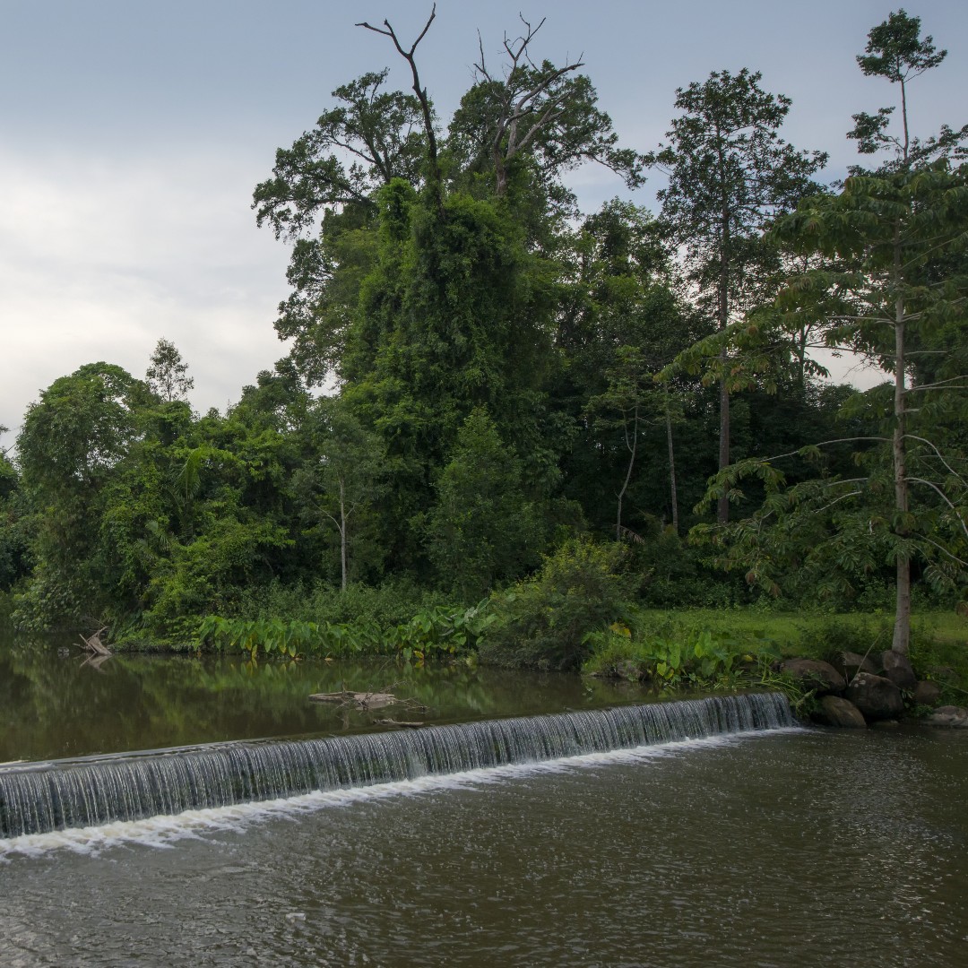
Key is to design a setup that is small and does not obstruct mid and high flows. Hence it should be quickly submerged when water levels rise. That suggests a (very) low check dam or weir, which can be constructed with gabions and is not expensive. The purpose is to stabilize the low-flow channel, nothing more.
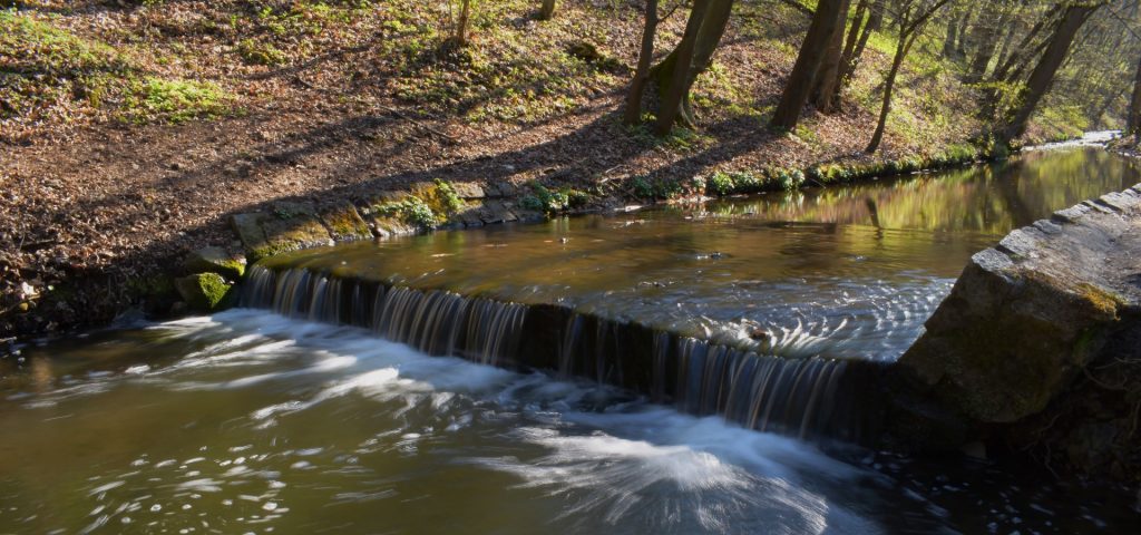
The check dam has created a level gage pool with almost zero approach velocity at low water levels, which constitutes an excellent site for low-flow monitoring
Nevertheless, it is advised to always look for multiple functions when designing infrastructure elements and create a ‘beneficial assembly’. Hence the weir or check dam should preferably serve other purposes, such as increasing baseflow, encouraging groundwater recharge, creating a biome or micro-climate, or reducing erosive forces.
Even better is to construct this low-flow check dam at a site where a bridge has stabilized the mid and high-flow segment of the rating curve. That would result in an excellent control for flow measurement and would produce high-confidence data.
And always keep in mind—for most hydro stations—that the most effective step to improve the accuracy of flow data is to increase the quality of the rating curve.
Better water data leads to better decisions on scarce water resources